The Durham Regional Forest Main Tract is comprised of plantation forests established over 90 years ago, as well as mixed hardwood areas.
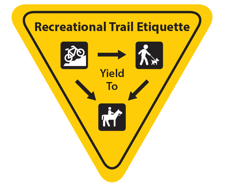
This forest encompasses a 596 hectare area that is located at the top of the Oak Ridges Moraine, in the Town of Uxbridge, and is renowned for its excellent cross-country skiing, mountain biking, hiking and horseback riding.
More than 16 kilometres of trails in four marked loops and numerous secondary trails throughout the main tract. Contributes to regional and national trail networks.
Please follow all park rules during your visit and remember that amenities, such as washrooms, may be closed at this time.
- No parking? Visit another area. Absolutely no parking outside of designated spots.
- Parking is limited to 3 hours maximum.
- No tailgating permitted.
The Lake Simcoe Region Conservation Authority manages the Durham Regional Forest on behalf of Durham Region. For general questions or to report issues with trails/facilities please contact:
Forestry and Greenspace Services
Phone: 905-895-1281 or 1-800-465-0437
Email:  info@LSRCA.on.ca

![]() Who to Contact
Who to Contact
Parking Related Inquiries
Township of Uxbridge
This property is managed by Lake Simcoe Region Conservation Authority on behalf of Durham Region. For all other inquiries including general questions or to report issues with trails and facilities please contact:
 Amenities
- Hiking and running trails
- Mountain biking trails
- Access to The Trans Canada Trail and Oak Ridges Moraine Trail
- Head of trails kiosk and additional trail kiosks throughout the property
 Natural Features
- Mixed Forest
- Plantation Forest
- Oak Ridges Moraine
- Historic Blow Sands